The Frenchman's Bay area has changed significantly since 1843. You can see how our popular city was developed on and see what historical aspects still stand today.
PastRESTAURANTS THEN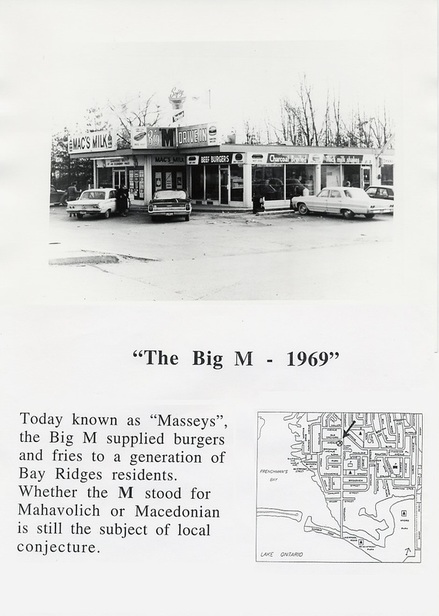
(Pickering/Ajax Digital Archive, 1)
THE PEIR THEN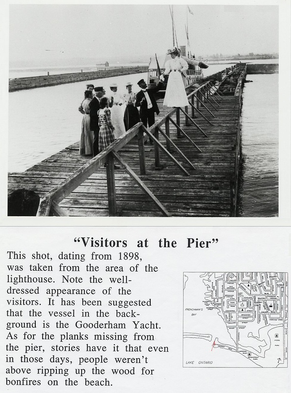
(Pickering/Ajax Digital Archive, 1)
THE PORT THEN
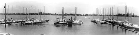
This is a picture of the Port of Frenchman's Bay in the 60's.
(Frenchman's Bay Yacht Club, 1) THE AREA THEN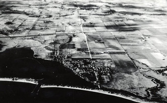
This is an aerial picture of the Frenchman's Bay area in 1937. There is tons of farmland that stretches on for miles and noticeable development along the shoreline. This was the beginning of the City of Pickering, and Frenchman's bay is the heart of it. This is a visual representation of how Frenchman's Bay was the roots of Pickering (Pickering/Ajax Digital Archive, 3).
|
PresentRESTAURANTS NOW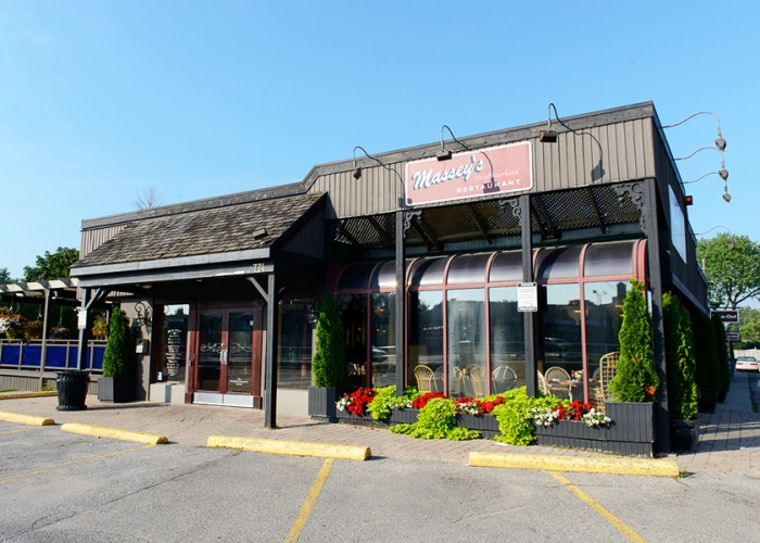
Massey's is a very popular restaurant in the Frenchman's Bay area. It has changed dramatically from when it was first built by adding different things to the menu such as pasta and salads but it kept the great tasting burger! The restaurant in the past was a big hit for people who came to visit Frenchman's Bay which was a favourite and must-go-to spot for tons of tourists and people from other cities and still is today! ( Yellowpages, 1)
THE PIER NOW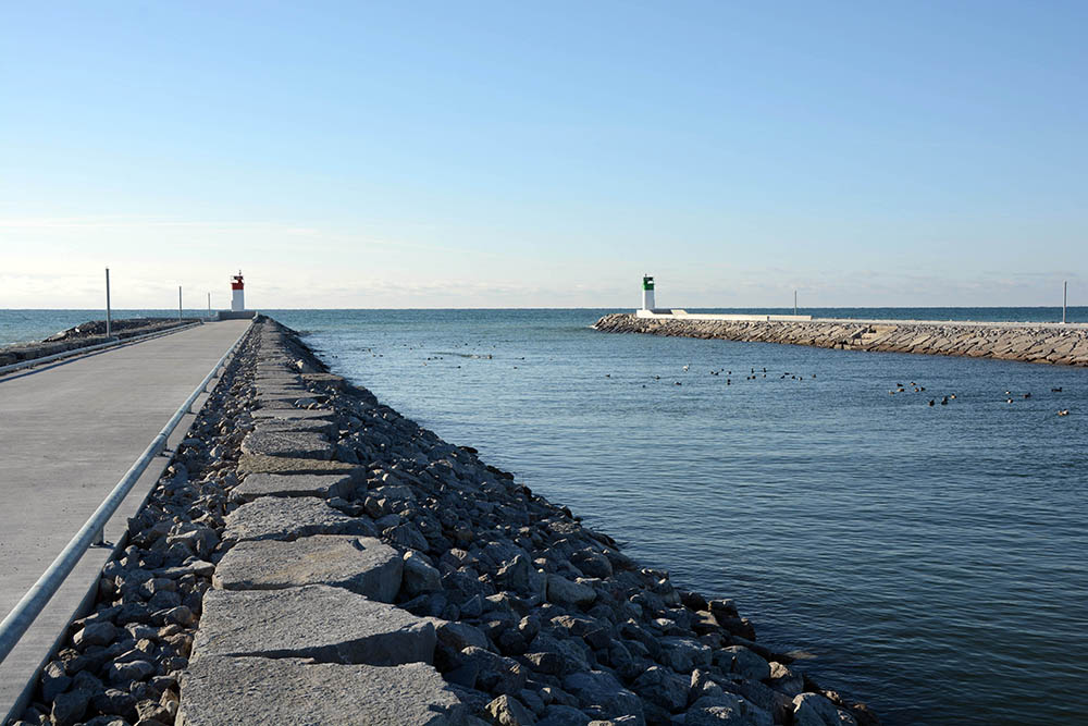
In December of 2014, the governments of Canada and Ontario announced that they would work together with the City of Pickering and Toronto and Region Conservation (TRCA) to fix Frenchman’s Bay Harbour Entrance. The project resulted in a safe harbour entrance that kept and enhanced the past. The total cost of the project was about $9 million, shared equally between the provincial and federal governments and the City of Pickering. This project was a big part of the City of Pickering’s overall commitment to make the Pickering Waterfront a place that thrives in public use and recreation and tourism
(Frenchman's Bay Marina,1) “I thank the Governments of Canada and Ontario, along with the TRCA for partnering with the City of Pickering on this significant infrastructure project. This meaningful investment in Pickering will help protect the integrity of Frenchman’s Bay while also boosting our local economy.” THE PORT NOW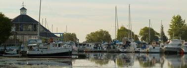
This is a picture of the Port of Frenchman's Bay now. As you can see, not much has changed except for the boat. They have become more modernized and larger (Frenchman's Bay Marina, 1).
THE AREA NOW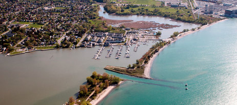
This is a current aerial photo of the Frenchman's Bay area. There is major development where there was once farmland and (if you look closely) you can see the Pickering Power Plant that was built in 1966 up in the top right corner. The suburban culture and urban sprawl developed after WWII and the Baby Boom. Since Pickering is just on the outskirts of Toronto, people choose to live in the less expensive houses in Pickering and commute to work (Frenchman's Bay Marina, 1).
|
